There are dozens of excellent tracks all over the Beacons & eastwards to the Black Mountains (note: plural). It’s an area I know like the back of my hand – I can ride over 100 miles of trails without even needing to check the map. However, if you head westwards just a little way there is one area where I had never ridden: The Black Mountain. Back in August, I decided I needed to put that right. And I definitely needed to take a map.
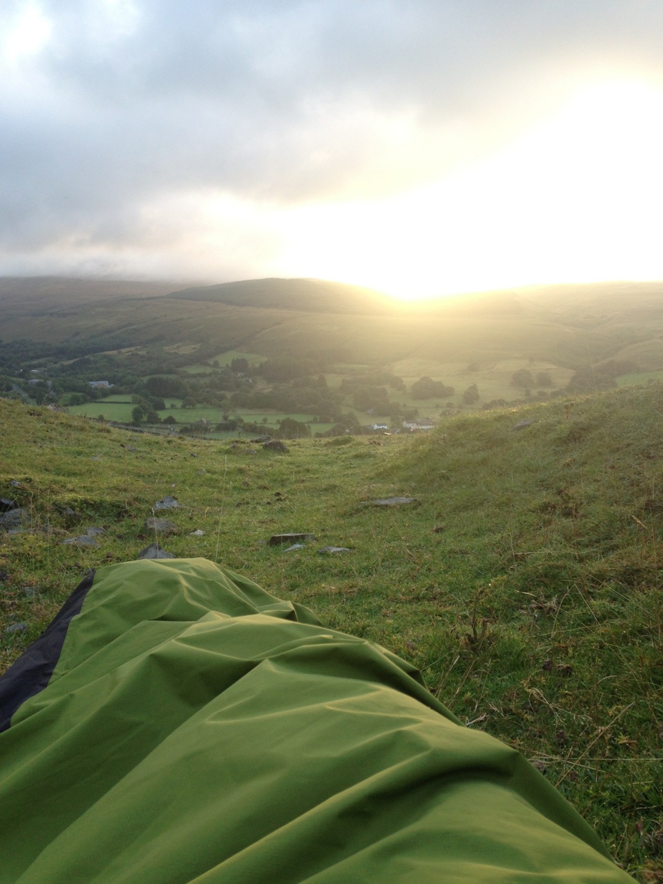
My ride from Brecon started the previous evening, ending just above Dan-y-ogof caves with a bivvy overlooking the Tawe valley. From my bivvy spot, the track climbed steeply northwards on a mix of grass and sparsely vegetated stone track. I quickly gained height to an elevation of about 500m. Evidence of civilisation lay far back down in the valley. Behind me the morning sun was still struggling to get the better of the looming clouds. To add to the atmosphere, the track skirted a dark and menacing looking bog. The source of the Afan Haffes, this area is fenced off to prevent livestock, people and even fatbikers from straying into it.
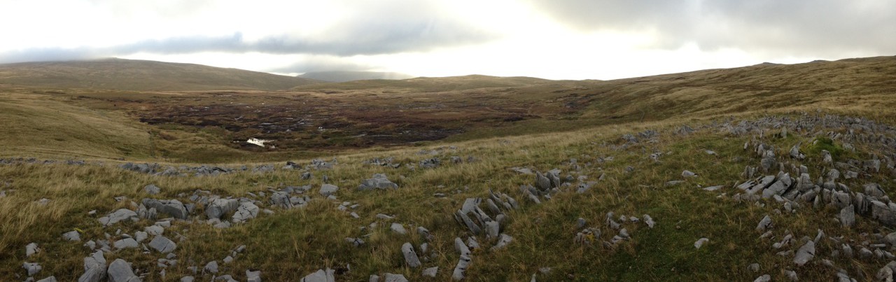
The further I ventured into the Black Mountain area, the narrower the track become. The geology is different here too, from the familiar sandstone of the main Brecon Beacons to scattered limestone rocks across a landscape with a distinctly wilder and more remote feel. I picked my way intricately around swallow holes, limestone ridges and across small tributaries. It felt liberating to be guiding a bike through what felt like such a remote area. Foot prints were few and far between, and any evidence of bikes non existent. I was truly on my own out here, and reminded of the scale and difficulty of parts of the Highland Trail route.
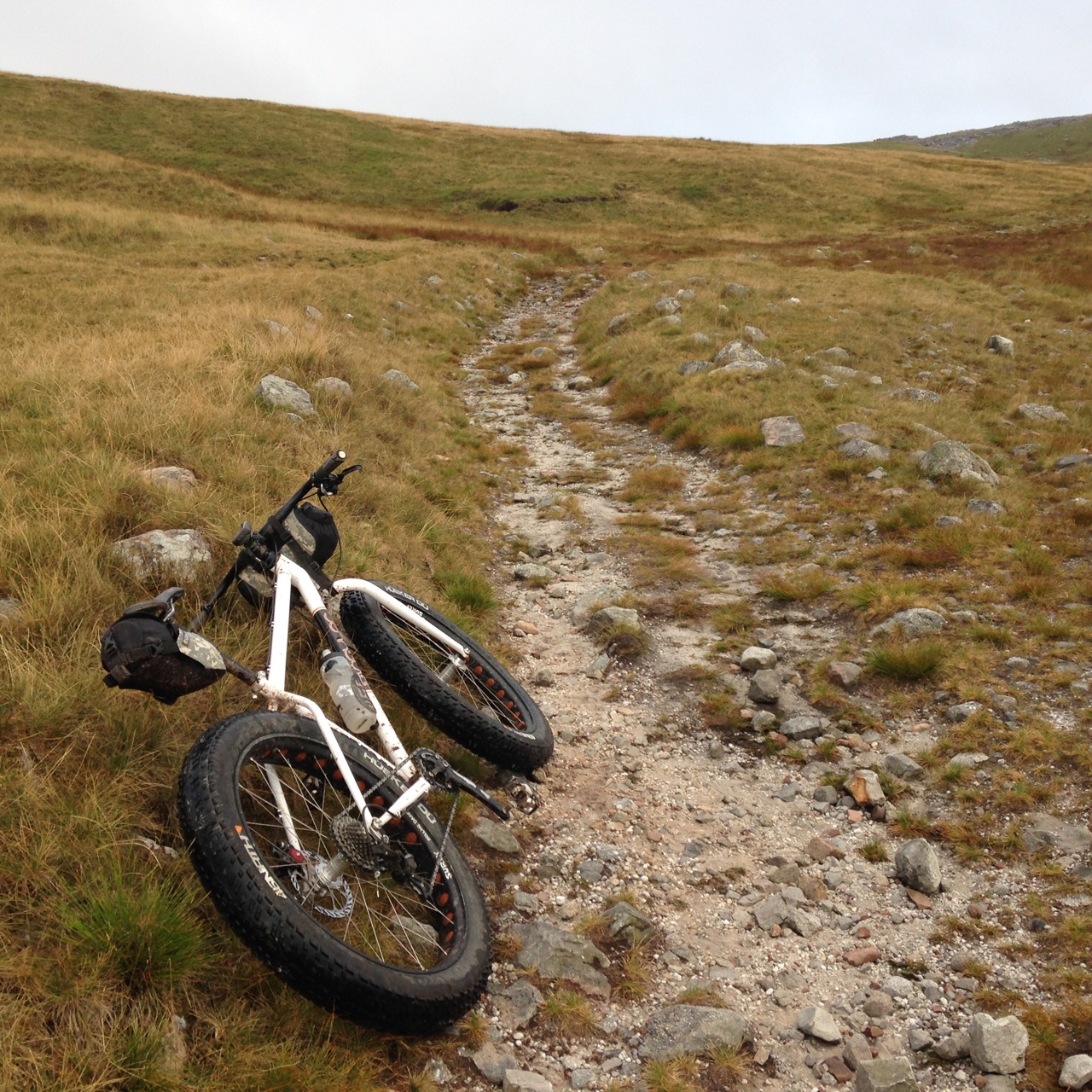
With the benefit of a GPS to guide you, it would be almost impossible to go wrong. That is, if the the track on the ground correlates with the bridleway on the device, which for the most part it does. Until you get to the bit that doesn’t. Where the track ended, it took a few moments for me to adjust to the inputs of the surrounding terrain, rather than the line on the map. I was reminded that this was how it used to be, back in the days of my early mountain biking exploits. No GPS, no pre-ride preview via a satellite image. Just a paper map, compass, sense of adventure and confidence of being able to get yourself un-lost if you went wrong.
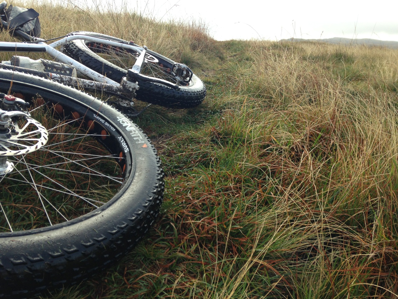
After a short piece of hike-a-bike I latched onto a neat sinuous line through the grass that contoured around western flank of Waen Lefrith. This eventually brought me around to the descent off the northern end of the Black Mountain and an exhilarating fast grassy plunge down to Llandeusant. My return route was to ride the escarpment ridge over the summits of Bannau Sir Gaer (Carmarthen Fan) and Fan Brycheiniog (Brecon Fan). Technically, these aren’t bike trails, but whenever I encounter people when I’m on the fat bike, they are too busy marvelling at the size of the tyres to notice that I’m riding on a footpath.
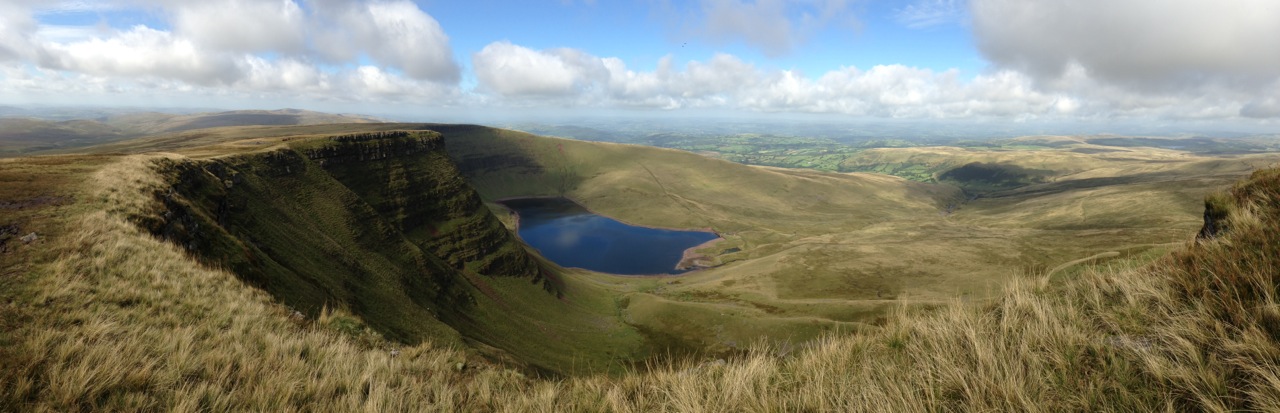
The path up from Llyn y Fan Fach was a push until I neared the summit of Waen Lefrith, around which I’d skirted earlier. Ahead of me lay the successive summits that I’d be riding over, with their steep northern faces falling away steeply to the valley from where I’d just ridden.
The riding was hard going; the grass sucked hard at my fat tyres, but I pressed on knowing that without them I probably wouldn’t have been able to ride much of the trail at all. The sun was putting in a more regular appearance now, and to be on this iconic ridge on a bike in virtual solitude was quite incredible. I arrived at the summit of Fan Brycheiniog at around lunchtime, and seeing as I had my bivvy gear with me, I cooked up some lunch of noodles and soup. Though the distance ridden was comparatively short (about 12 miles since my bivvy stop), the effort expended had been significant. I lingered on the summit for a while to soak up the surrounding landscape before embarking on the tricky descent off the ridge and the ride back to Brecon.
Link to the route ridden is available on Strava: http://www.strava.com/activities/188036436
